Within Niger UFOs
Why UFO Reports Would Differ Across Niger
Niamey, Zinder and Agadez present different risks of mistaking aircraft, satellites, drones and distant lights for anomalous objects.
On this page
- Niamey airports, lighting and urban traffic
- Zinder routes and cross border ambiguity
- Agadez dark skies and distance illusions
Page outline Jump by section
Introduction
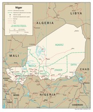
Publicly available UFO reporting from Niger is too sparse to support a reliable map of where unusual aerial observations occur. Nevertheless, the country’s geography, aviation activity and night-time observing conditions strongly suggest that reports would not be distributed evenly. A light seen over central Niamey is likely to have different conventional explanations from one seen outside Agadez or along the transport corridors near Zinder. Understanding those regional differences is therefore more useful than assuming that every unidentified object has the same origin.
The available evidence does not indicate that any region of Niger is a confirmed hotspot for unexplained phenomena. Instead, the principal challenge is identification. Aircraft, satellites, drones, atmospheric effects and distant lights appear differently depending on local terrain, lighting, infrastructure and air traffic. In a country with very limited publicly documented investigations, those environmental differences become an important part of assessing any reported sighting.
Why regional conditions matter more than reported numbers
Unlike countries with large public UFO archives, Niger has no comprehensive database that reliably geocodes sightings by region. The absence of mapped case files means researchers cannot identify statistically significant clusters or compare investigation outcomes between cities.
That does not mean every part of the country presents the same observational environment. Three broad mechanisms influence how aerial objects may be perceived:
- The density of conventional aircraft operations.
- The amount of artificial light affecting visibility.
- The openness of the landscape, which changes how distance and motion are judged.
These factors vary considerably between Niamey, Zinder and Agadez, making regional interpretation more informative than attempting to construct unsupported incident maps.
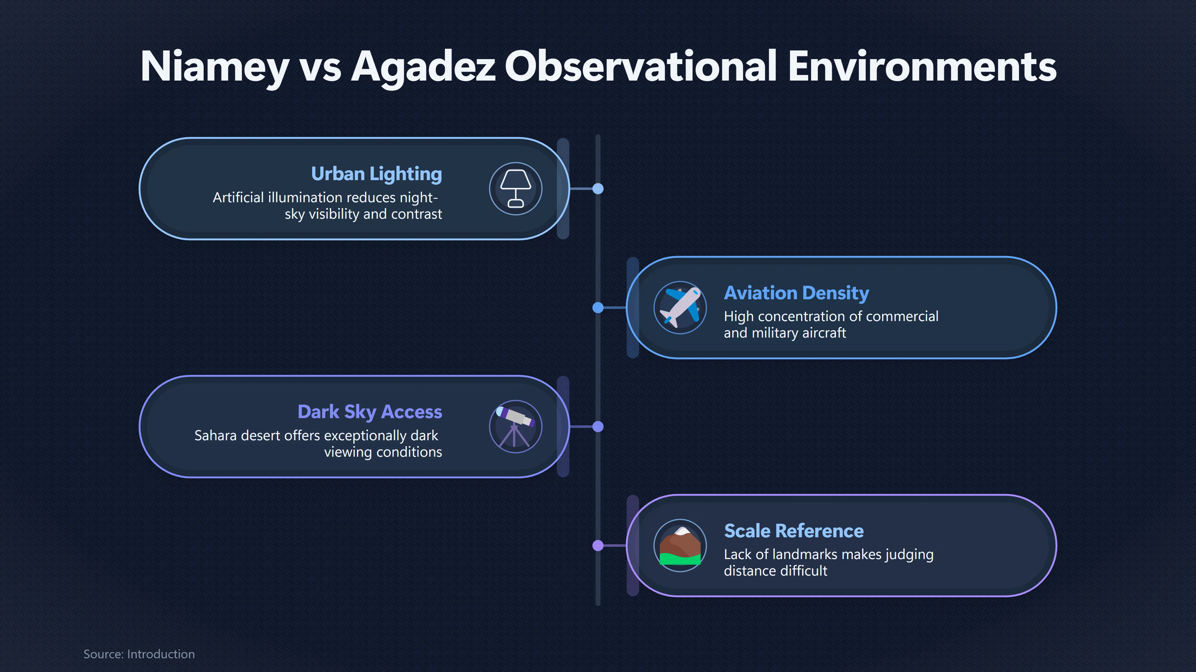
Niamey: airports, urban lighting and routine air traffic
As Niger’s capital, Niamey contains the country’s busiest aviation environment around Diori Hamani International Airport. Scheduled commercial flights, government aircraft and military activity all increase the number of conventional objects visible in the sky compared with much of the rest of the country.[AirNav Radar]airnavradar.comAir Nav Radar Diori Hamani International Airport (NIM / DRRNAirNav RadarDiori Hamani International Airport (NIM / DRRN) - AirNav Radar Flight Tracker…
For an observer unfamiliar with aircraft approach patterns, several ordinary effects can produce unusual impressions:
- Landing lights appearing stationary before suddenly moving.
- Aircraft changing brightness as they turn.
- Contrails catching sunlight after sunset.
- Multiple aircraft approaching from different directions.
Urban lighting also changes how objects are perceived. Artificial illumination reduces the visibility of faint stars while increasing glare and reducing contrast, making it harder to judge altitude and distance accurately. Research on light pollution consistently shows that illuminated environments degrade night-sky visibility and alter how observers perceive celestial objects.[arXiv]arxiv.orgarXiv The new world atlas of artificial night sky brightnessThe new world atlas of artificial night sky brightnessSeptember 5, 2016…
Because Niamey combines heavy lighting with the country’s highest concentration of air traffic, reports from the capital would generally require careful comparison with flight records before being considered anomalous.
Zinder: transport routes and cross-border ambiguity
Zinder occupies a different observational setting. Although smaller than Niamey, it lies close to important road and air connections leading towards Nigeria and other neighbouring states.
This creates several identification challenges.
First, observers may see aircraft travelling along regional routes without having an obvious visual reference for their origin or destination. A distant aircraft at cruising altitude can appear unusually slow, silent or stationary depending on viewing angle.
Second, cross-border reporting has historically complicated research on Niger itself. English-language searches frequently confuse Niger with Nigeria, and reports originating in northern Nigeria are sometimes incorrectly associated with Niger simply because of the similar country names. That problem affects catalogue reliability before investigators even examine the underlying observation.
Third, lights near the horizon are especially difficult to interpret over long, flat terrain. Atmospheric refraction, haze and dust can exaggerate apparent movement or make ordinary lights seem suspended above the landscape.
These mechanisms do not demonstrate unexplained phenomena, but they illustrate why location-specific context is essential when evaluating any future report from eastern Niger.
Agadez: dark skies, long sightlines and distance illusions
Agadez presents almost the opposite observational environment from Niamey.
Away from the city itself, the Sahara offers exceptionally dark skies with little artificial lighting. Under such conditions observers can detect satellites, meteors and faint astronomical objects that would be invisible from more brightly illuminated urban areas. While improved visibility benefits astronomical observation, it also increases opportunities for unfamiliar celestial objects to be mistaken for something extraordinary.[arXiv]arxiv.orgarXiv The new world atlas of artificial night sky brightnessThe new world atlas of artificial night sky brightnessSeptember 5, 2016…
The surrounding desert introduces another challenge: scale.
With few buildings, trees or mountains to provide reference points, it becomes extremely difficult to estimate:
- altitude,
- speed,
- physical size,
- and distance.
A conventional aircraft many kilometres away may appear much closer than it actually is, while bright planets or satellites near the horizon can seem unusually large or motionless.
Historically, the Agadez region also hosted significant military aviation activity associated with Air Base 201, including remotely piloted aircraft operations before the withdrawal of United States forces in 2024. Although operational circumstances have changed, the existence of drone flights in the region demonstrates that unusual-looking aircraft have had ordinary military explanations in at least some periods.[wikipedia.org]WikipediaNiger Air Base 201Niger Air Base 201
The combination of exceptionally dark skies, immense viewing distances and occasional specialised aviation makes Agadez one of the areas where careful identification would be especially important.
Why desert observations can be deceptively convincing
Many characteristics that witnesses associate with unusual objects become more understandable in open desert terrain.
Examples include:
- Apparent hovering: an aircraft flying nearly towards or away from an observer shows little sideways movement.
- Sudden acceleration: changes in viewing angle can create the illusion of rapid speed changes.
- Silent flight: distant aircraft may be beyond the range at which engine noise is easily heard.
- Unexpected brightness: sunlight reflected from high-altitude aircraft or satellites can produce brief flashes.
Heat haze and suspended dust can further distort perceived shape and motion, particularly close to the horizon. These effects are well known in aviation and observational astronomy and require no extraordinary explanation.
What cannot currently be concluded
The present public evidence does not justify claims that any region of Niger experiences more unexplained aerial phenomena than another.
Several important limitations remain:
- No publicly accessible national database maps sightings by region.
- No official investigation has demonstrated a persistent hotspot in Niamey, Zinder or Agadez.
- Existing public reports are too few and insufficiently documented to support regional statistical analysis.
- Many potential observations may never have entered searchable archives at all.
As a result, regional comparisons should be understood as differences in identification conditions rather than differences in confirmed UFO activity.

Implications for future investigations
If more detailed reports become available in future, regional context should be treated as part of the investigation rather than as background information.
A credible assessment would compare each observation with local aviation activity, satellite visibility, astronomical conditions and weather specific to the reported location. A sighting above Niamey should be evaluated differently from one reported in the open desert near Agadez because the pool of likely conventional explanations differs substantially.
For Niger, this regional approach is currently more evidence-based than attempting to identify geographic UFO hotspots. The strongest conclusion remains that geography affects how aerial objects are perceived, while the available public record is still too limited to demonstrate meaningful regional differences in genuinely unexplained observations.
Amazon book picks
Further Reading
Books and field guides related to Why UFO Reports Would Differ Across Niger. Use these as the next step if you want deeper reading beyond the article.
The UFO Experience: A Scientific Inquiry
Provides investigative context for regional sightings.
NightWatch: A Practical Guide to Viewing the Universe
Explains visibility and observing conditions.
eBay marketplace picks
Marketplace Samples
Live-tested eBay searches with available results related to this page.
Selected fromNiger map print oneBay.co.uk.
Endnotes
1.
Source: arxiv.org
Title: arXiv The new world atlas of artificial night sky brightness
Link:https://arxiv.org/abs/1609.01041
Source snippet
The new world atlas of artificial night sky brightnessSeptember 5, 2016...
Published: September 5, 2016
2.
Source: arxiv.org
Title: arXiv Light pollution is skyrocketing
Link:https://arxiv.org/abs/2306.13878
3.
Source: Wikipedia
Title: Niger Air Base 201
Link:https://en.wikipedia.org/wiki/Niger_Air_Base_201
4.
Source: reuters.com
Title: us military completes withdrawal key drone base niger 2024 08 05
Link:https://www.reuters.com/world/africa/us-military-completes-withdrawal-key-drone-base-niger-2024-08-05/
Source snippet
military completes withdrawal from key drone base in NigerThe United States military has completed its withdrawal from air base 201 in Ni...
5.
Source: military.africa
Link:https://www.military.africa/2019/06/security-concerns-stall-u-s-military-drone-operations-in-niger/
6.
Source: airnavradar.com
Title: Air Nav Radar Diori Hamani International Airport (NIM / DRRN)
Link:https://www.airnavradar.com/data/airports/NIM
Source snippet
AirNav RadarDiori Hamani International Airport (NIM / DRRN) - AirNav Radar Flight Tracker...
7.
Source: flightradar24.com
Link:https://www.flightradar24.com/data/airports/nim/weather
Source snippet
Niamey Diori Hamani International Airport (NIM/DRRN) METAR | Flightradar24June 18, 2026 — * Day: 16th * Time: 02:00 UTC * Wind direction...
Published: June 18, 2026
Additional References
8.
Source: tandfonline.com
Link:https://www.tandfonline.com/doi/full/10.1080/03071847.2018.1552452
Source snippet
Taylor & Francis OnlineUS Drone Base in Agadez: The RUSI Journal: Vol 163, No 5 - Get Access...
9.
Source: bigorre.org
Link:https://www.bigorre.org/aero/meteo/drrn/en
Source snippet
Diori Hamani International airport in Niamey (Niger) aviation weather and informations DRRN NIM2 days ago — DIORI HAMANI INTERNATIONAL AI...
10.
Source: flightaware.com
Title: Flight Aware Diori Hamani Int’l Airport Weather (Niamey) [DRRN/DRRN]
Link:https://www.flightaware.com/resources/airport/DRRN/weather
Source snippet
Diori Hamani Int'l Airport Weather (Niamey) [DRRN/DRRN] - FlightAware...
11.
Source: youtube.com
Title: From Radar to Neutrinos: The Future of UAP Detection
Link:https://www.youtube.com/watch?v=5npm-aM_OWA
Source snippet
UFO misidentification satellite aircraft patterns analysis Gimbal UFO - A New Analysis Mick West...
12.
Source: nature.com
Link:https://www.nature.com/articles/sdata2018256
13.
Source: youtube.com
Title: Most Compelling UFO Evidence Ever Recorded | Full Analysis
Link:https://www.youtube.com/watch?v=SQ58T98EIHQ
Source snippet
From Radar to Neutrinos: The Future of UAP Detection...
14.
Source: aviation.gov.ng
Link:https://aviation.gov.ng/index.php/about
15.
Source: ncaa.gov.ng
Link:https://ncaa.gov.ng/directorates/aerodrome-airspace-standards/
16.
Source: allmetsat.com
Link:https://www.allmetsat.com/en/metar-taf/europe.php?icao=DRRN
17.
Source: allmetsat.com
Link:https://www.allmetsat.com/en/metar-taf/north-atlantic.php?icao=DRRN